Wednesday, 7 October 2009
Monday, 17 August 2009
"This territory is rich but we need to develop it carefully. If we get rights to this land, we can develop it by ourselves. We have to go ahead and develop our own community. It is not that we are selfish, we are self-employed and believe development means becoming self-sufficient."
An Ammerindian from the Upper Mazaruni talking about development.
The book: Guyana, Fragile frontier, Loggers, miners and forest peoples. Marcus Colchester
Friday, 31 July 2009
Tuesday, 28 July 2009
Thursday, 16 July 2009
VSOing, where?
 That's a month and a day ago now. Unbelievable. Scary. Exciting.
What did I do when I read the name of the place? Googled it, of course! This is what Wiki had to say about "my" place:
"Mahdia is a small community in the Potaro-Siparuni region of Guyana, located at
 5°16′N 59°9′W / 5.267°N 59.15°W / 5.267; -59.15, at an altitude of 415 metres (1,360 ft). Commerce is centred around the area's gold and diamond mining operations. As such it responds to and is affected by the economic booms and busts."
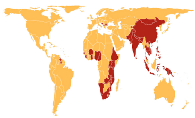
So, Mahdia is in the Potaro-Siparuni region. The red bit below:
 "The population of Mahdia (c. 500) is made up of three groups. The Patamonas are an indigenous Amerindian tribe. The Coastlanders are residents from elsewhere in Guyana who have moved to the Madhia area. The Islanders are the immigrants and their descendants from certain Caribbean Islands, particularly, St Lucia and Dominica. Within recent times there has been an influx of a group that is referred to as “foreigners” by the other residents of the area.
Madhia is a regional administrative center. The community has a police station, and schools that provide nursery and primary education. Madhia has a commercial sector which includes dry goods shops, boutiques, a fuel station, two hotels and a brothel. The area is also serviced by several trucks from the coast. These trucks travel to Madhia several times each week and sell vegetables, groceries and other supplies. There is a well in the area which is not functional. Residents consequently collect rainwater for domestic use.
Mahdia is accessible by road from Bartica, the Konawaruk Road (links Linden to Mabura) and from the capital, Georgetown, via a pontoon crossing on the Essequibo River at Mango Landing. Mahdia has a landing strip (Airport Code MHA) for small planes."
Info from here
Thursday, 21 May 2009
Monday, 18 May 2009
ai
too much going on at the moment, so I'm not able to write it here... keep your fingers crossed for me, will ya?
Sunday, 10 May 2009
placement accepted
Here it is:
 me and my sea: 15hours away from each other.
but I'm expecting Walewale to make up for that with an unbelievably starry sky for example!
§*§
here is some information I found on care.org:

| Population: | 20.5 million | |
| Urban Population: | 36% | |
| Major Ethnic and Linguistic Groups: | Akan - 44% Moshi-Dagomba - 16% Ewe - 13% Ga - 8% Gurma - 3% | |
| Religions: | Christian - 63% Traditional beliefs - 21% Muslim - 16% | |
| Population Growth Rate: | 1.45% | |
| Life Expectancy: | 56.5 years | |
| Infant Mortality: | 53 per 1,000 live births | |
| Under Five Mortality: | 100 per 1,000 live births | |
| Maternal Mortality Rate: | 210 per 100,000 live births | |
| GNP Per Capita: | $290 | |
| Percentage of Literate Adult Males: | 83% | |
| Percentage of Literate Adult Females: | 67% | |
| Percentage Population With Access To Safe Drinking Water: | 73% | |
| ||
